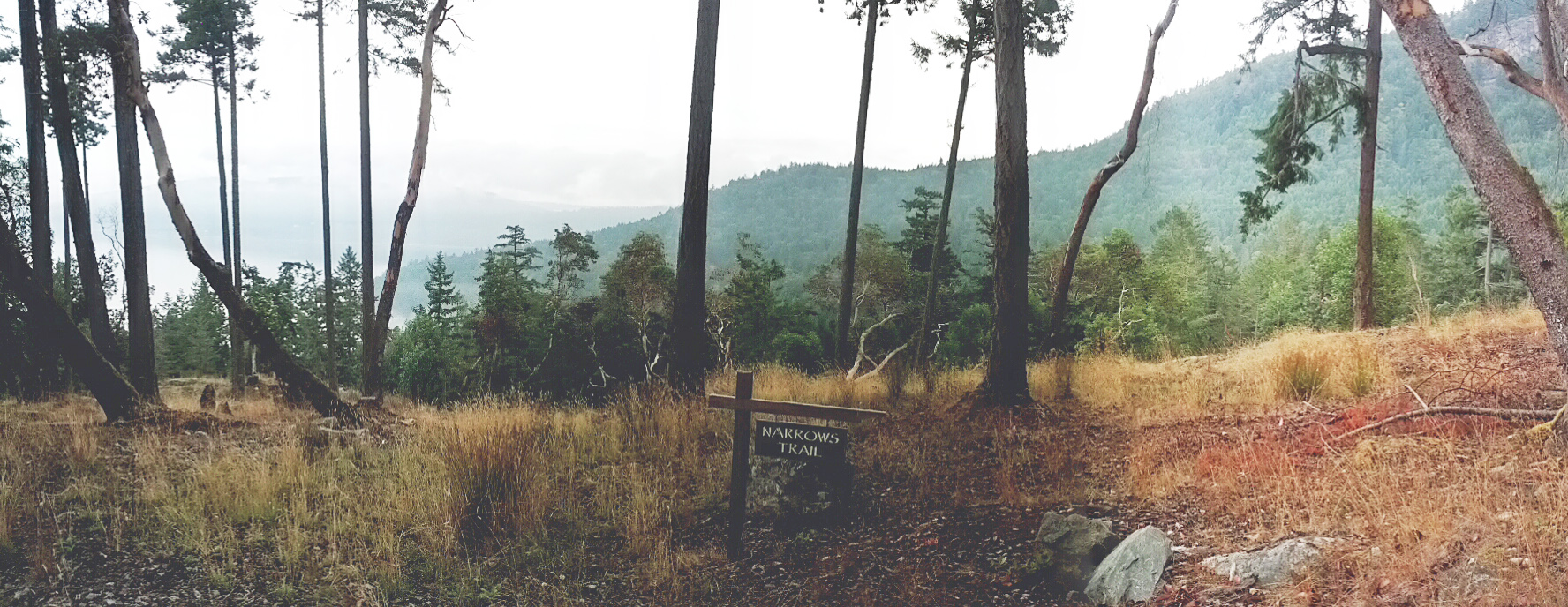
Mt Eskine and the new Narrow West area are on the west side of the island and enjoy evening sunsets. The area is dominated by the physical feature of Mt Erskine. Mt Erskine is a provincial park. In 2005 Salt Spring Conservancy raised enough money (625k) to buy lot 29 and make it into a nature reserve. Here is the trail map; trail map. Here is the Mount Erskine Provincial Park Management Plan;mt_erskine_mp
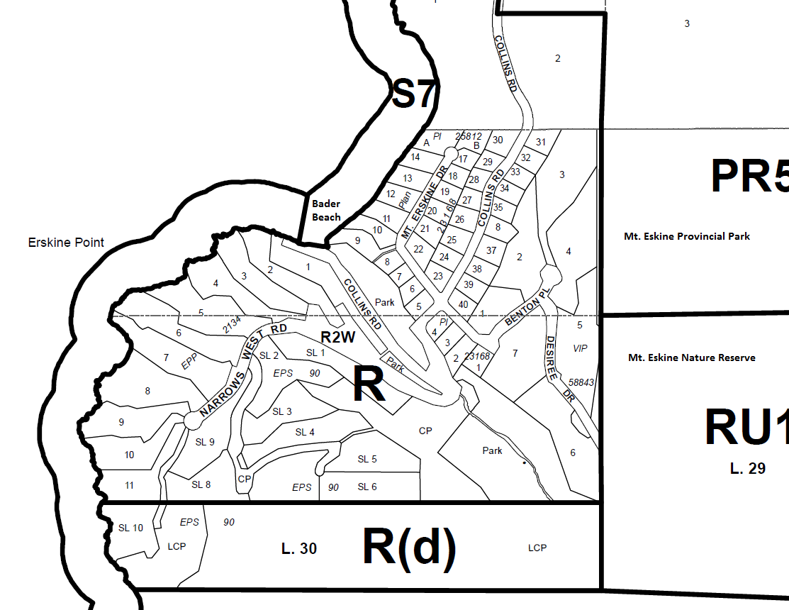
The area of Mt Erskine drive was developed in 1970 by Randall Logging whose president was Mr. Cecil, Robert Bader. Hence the name of the beach at the bottom of Collins Road is “Bader Beach” which is one of my fav places for a picnic. Here is a copy of the building scheme attached to some of the lots’ building schemes. Note one would have to check a lot title to see if it’s attached to a specific lot or home you are looking at. Here are the basic property tax reports for the area tax reports.
The 40 or so lots in the Mount Erskine area get their water from two wells which are part of the Erskine Water society.
In 2009 427 Collins road property was developed as Narrows West. One thing the developer had to do was build the road. He needed to go before the trust because of the soil removal bylaw 427 Collins road soil removal. The new development has had to jump through more than one hoop here is another public report on the covenants and frontage variance; SS-SUB-2007.910 Frontage variance and five covenants.
For more information on these areas contact Scott. I have walked and or hiked this area extensively and know every square inch of all the real estate and have all the documents. Here is a link to the developer website Narrow West remember the listing agent is working for the developer. One needs their own agent who is going to represent them and don’t go into limited dual agency.
Here is the area from the air via helicopter video.
Cheers,
Scott & June Simmons
The Salt Spring Team